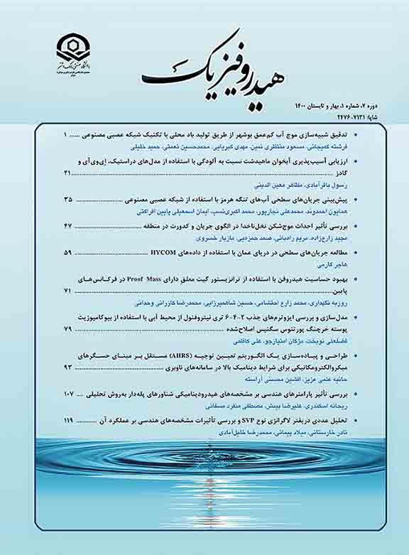
Hydrophysics

Hydrophysics

"Hydrophysics" is an open access and peer-reviewed journal published by Malek Ashtar University of Technology since 2015. This journal has no charges for the article processing. The scope of the journal includes the following topic areas:

Marine  physics, Acoustic and sound, Acoustical and electromagnetic waves propagation, Laser acoustic, Optoacoustic, Transducers, Signal and Image processing, Sonar, Underwater communication, Marine Environment, Navigation, Hydrodynamics.

Manuscript Submission: All manuscripts should be submitted electronically through: https://www.hydrophysics.ir/contacts


Current Issue: Volume 11, Issue 1 - Serial Number 20, September 2025 

Identification of Valley-Like Features in the Strait of Hormuz

Farzaneh Mohammadpour, Maryam Soyufjahromi, Samad Hamzei

Study and Optimization of Electromagnetic Boomer Performance

Mohammad reza kazerani, Mohammad reza Shams, Reza Mardani

Investigation of Oil Pollution Trends in the Karaj River Using Numerical Modeling

Mohsen Asadi, Amir Hossein Javid, Sara Allahyari Beik, Mir Masoud Kheirkhah Zarkesh

Keywords Cloud

  • Persian Gulf
  • Oman Sea
  • Caspian Sea
  • Strait of Hormuz
  • Numerical Modeling
  • Artificial neural network
  • Salinity
  • sensor
  • Temperature
  • Modeling
  • Acoustic
  • Submarine
  • Simulation
  • finite element method
  • sonar
  • hydrophone
  • Gulf of Oman
  • Drag force
  • Towing tank
  • ocean mixed layer
  • Groundwater
  • sedimentation
  • Froude number
  • Spectral Analysis
  • Karun river
  • image processing
  • Suspended gate
  • regular waves
  • POM model
  • wave height
  • Waves
  • sea surface temperature
  • genetic algorithm
  • Remote Sensing
  • Drag coefficient
  • Micro-Electro-Mechanical-Systems(MEMS)
  • Surface currents
  • Fuzzy logic
  • GIS
  • numerical simulation
  • SWAN
  • velocity distribution
  • current
  • floods
  • Large Eddy Simulation
  • Oil Pollution
  • wave reflection
  • Teleconnection
  • nd:yag laser
  • hydroacoustic types
  • Reliability
  • sound speed profile
  • Support vector regression
  • Landsat
  • internal waves
  • Wind
  • South Caspian Sea
  • Northern Indian Ocean
  • longshore sediment transport rate (LSTR)
  • Precipitation
  • Sea Level
  • Density
  • Baroclinic instability
  • Neural network
  • electromechanical coupling coefficient
  • MITgcm Model
  • buoyancy frequency
  • Magnetic field
  • physical model
  • estimation
  • Regression Analysis
  • tide
  • Hydrodynamics
  • NDWI
  • Gulf of Mexico
  • finite element analysis
  • Calcination
  • four‐terminal connection
  • 3D modeling
  • Regression
  • Daily changes
  • Wave maker
  • spectroscopy
  • ensemble prediction
  • multi criteria decision making
  • MOSFET  
  • Floating wind turbine
  • fracture mechanic
  • intermediate-state beach
  • Trench
  • salinity profile
  • Bushehr coasts
  • barotropic flow
  • Breakwater
  • Super-cavitation
  • HEC-RAS 2D Model
  • ENSO, Niñ
  • Water Exchange
  • damping modulus
  • ECMWF model
  • Ti-6Al-4V alloy
  • wind effect
  • degaussing system
  • inverse model
  • Poisson Disk Sampling
  • experimental test
  • current pattern
  • Wind-Driven Waves
  • current simulation
  • hull pressure
  • Piezocomposite
  • The Mixed Layer Depth (MLD)
  • Plume
  • Propeller
  • Inertial Measurement Unit (IMU)
  • Bio-geo-chemical parameters
  • cyclone
  • Persian Gulf Explorer
  • cyber communication
  • Porpoising
  • Tidal Dynamics
  • porous seawall
  • Flood zoning
  • Spin
  • spectral behavior
  • \"Persian Gulf
  • PALM model
  • Northern Arabian Sea
  • Speed changes
  • wavelet transforms
  • Statistical Energy Analysis
  • pollution transport
  • sonar system
  • salt finger regime
  • Hydrodynamic drag reduction
  • quasi-reversibility method
  • Constitutive equations
  • Experimental methods
  • Water Level Decreasing
  • Phase Locked loop
  • Piano Keyboard Weir
  • Chirp signal
  • \"Stomp model\"
  • C#
  • Johnes schema
  • Karaj River
  • Tropical Cyclone
  • ARGO
  • Quantum Technology
  • Oil Leakage Analysis Module
  • Sentinel-1
  • modeling and simulation
  • Thermal Stratification
  • Density current head
  • CCTV videos
  • surface flow
  • Oblique water entry
  • Climate change
  • Composite materials
  • numerical model
  • Chlorophyll-a
  • MCDM
  • Front
  • ferroelectric
  • Tracking controller
  • Shipboard
  • \"Oil and Gas Platforms\"
  • “longshore current”
  • CMIP6
  • UNDEX
  • Ultrasonic Transducer
  • K-means
  • Water Pollutant Sources
  • Golabar Dam
  • Wave & Current
  • Total Harmonic Distortion
  • Era-Interim
  • nearshore zone
  • Acoustic transducer
  • Inclined Surface
  • Lavijrood
  • flexible carpet of wave energy conversion
  • The Persian Gulf
  • the Makran coast
  • All-optical encoder
  • Remote sensing data
  • Environmental Threats
  • Geographical Information System (GIS)
  • WOA data
  • \"trim\"
  • Bouancy forces
  • Decision making
  • o 3.4 Index, Precipitation, Teleconnection, Khorramabad
  • MIKE 11
  • Era-Interim data
  • Finite volume method
  • Wake integral technique
  • Thermal image
  • Taylor diagram
  • technology readiness levels (TRL)